Which antenna model do I select in SpatialExplorer or LiDARMill?
There's several steps in the lidar production workflow where it is necessary to specify an antenna model, either in SpatialExplorer and LiDARMill.
Selecting Reference Station Antenna Model
When importing reference station data into SpatialExplorer, or when uploading to LiDARMill, it's necessary to select the antenna model. Some antennas are calibrated by the NGS, and can be found here: https://www.ngs.noaa.gov/ANTCAL/. If your antenna is calibrated, you should be able to find it in the list provided by SpatialExplorer or LiDARMill. Note that SpatialExplorer often has diagrams depicting the antenna selected:
Antenna's Frequently used by Phoenix LiDAR Systems
The Tallysman HC977, a triple-band helix antenna, is not calibrated and should use the Generic antenna model:
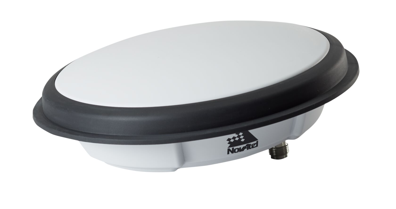
The NovAtel 850 antenna is calibrated and should use the NOV850 antenna model:

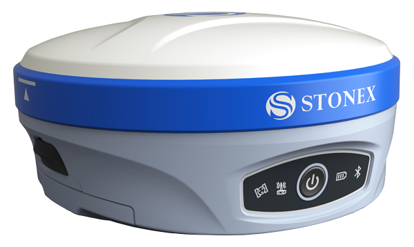
The Stonex S900, a GNSS reference station commonly bundled with lidar system packages, is calibrated and should use the STXS900 antenna model:

Related Articles
Does your NavLab pipeline fail when you select the Automatic dynamics model option?
Why does NavLab fail to process sometimes? This can be for several different reasons including, but not limited to, unideal vehicle dynamics, reference station data issues, etc. One method of troubleshooting is to select a dynamics model other than ...Fixing an incorrect IMU orientation in SpatialExplorer
Fixing an incorrect IMU orientation in SpatialExplorer IMU data is relative to the IMU's own coordinate system (specified by the manufacturer), so to get IMU data in vehicle frame, we must know how the IMU is oriented in respect to the vehicle. The ...Can I use PPP for processing the rover GNSS data?
You can find some information about using PPP to refine the coordinates logged for a static reference station in NovAtel's support document Adding a Base Station. For more info on using PPP for processing the rover GNSS data, refer to NovAtel's An ...I collected data with the wrong rover profile. Can this be corrected when post processing in LiDARMill?
Yes, you can correct any rotation and translation values when post processing in LiDARMill. In the Navlab pipeline, ensure that the IMU to Antenna lever arm offsets and the Body to IMU Rotations are corrected. In the Spatial Fuser pipeline, ensure ...RTK Survey Workflow Stonex